Bamseom Island (Ecosystem Conservation Area)
밤섬 생태경관 보전지역
Nature · Yeouido-dong, Yeongdeungpo-gu, Seoul
Nearby stations and stops
- Yeouinaru (Line 5) · straight-line 432m
- Yeouido (5호선·서울 도시철도 9호선) · straight-line 698m
- Bus stop 여의도수정아파트 · straight-line 158m
- Bus stop 하나은행여의도지점 · straight-line 223m
Straight-line distance; the actual walk is longer · Data as of 2025-10-31
Source: Korea National Railway urban rail station information · Ministry of Land, Infrastructure and Transport nationwide bus stop locations
- Admission
- Not provided
- Hours
- Not provided
- Closed
- Not provided
- Parking
- Not provided
- Pets
- Not provided
- Accessibility
- Not provided
- Data status
- Source: Korea Tourism Organization TourAPI · Source updated: 2025-04-29 · Collected: Not provided
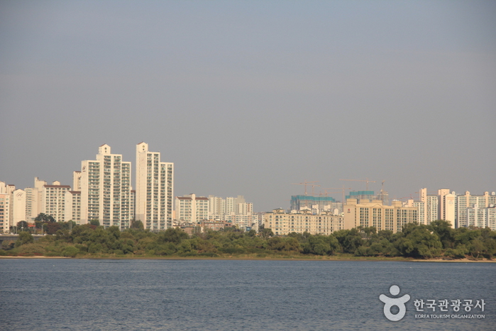
Located at the Hangang River, Bamseom Island derives its name from its chestnut-like shape (bam in Korean). The island was designated as an Ecosystem Conservation Area by the Seoul Metropolitan Government in 1999 and was later recognized as Ramsar Wetland in 2012. Now an uninhabited island, Bamseom Island was once home to around 443 people, who were relocated after the island was exploded as part of the Yeouido Development Project. Today, it is known as a habitat for numerous migratory birds and plant species. People can enjoy views of the Island from Bamseom Park.
In the area
Ecotourism Sites 1 of 15 attractions in Yeongdeungpo-gu
Similar places in other regions
- Yeongamho Lake (migratory bird habitat) · Jeonnam-Gwangju Special Metropolitan City
- Yubudo Island · Chungcheongnam-do
- Munseom, Seopseom, Beomseom, and Saeseom Islands · Jeju-do
- Damyang Bamboo Forest (Damyang Marsh) · Jeonnam-Gwangju Special Metropolitan City
- Boreumdo Island (Spoonbill Eco Village) (볼음도(저어새 생태마을)) · Incheon
Source: Korea Tourism Organization TourAPI